Digital
Introductory offer · 25% off
Buy 3, get 1 free · Buy 5, get 2 · Buy 10, get 5Mix & match printables: buy 3, get 1 free · buy 5, get 2 free · buy 10, get 5 free
Shop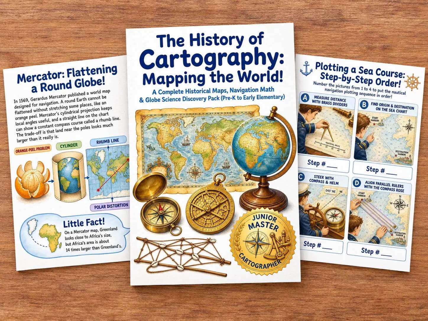
Introductory offer · 25% off
You save $2.12
Sale price $6.38Regular price $8.50
Instant download · Guest checkout · Print at home
Digital download only. Nothing is shipped.
🗺️ Explore the fascinating history of maps, navigation, and cartography!
This History of Cartography Discovery Pack is a colorful printable learning resource designed to introduce children to maps, famous cartographers, navigation tools, geography, and map science through engaging illustrated lessons and activities.
🌍 Inside the pack, children will discover:
✨ What maps are and how they work 🧭 Latitude, longitude, compass roses, and directions 📜 Ptolemy, Al-Idrisi, Mercator, and historic mapmaking 🌊 Marshallese stick charts and early navigation ⭐ Celestial navigation, astrolabes, and sextants ⏱️ John Harrison and the longitude problem 🛰️ Satellites, GPS, and modern mapping ⛰️ Contour lines and triangulation ✏️ Matching, counting, sequencing, graphing, coloring, and writing activities 🏆 A printable Junior Master Cartographer Certificate
📚 41 printable pages filled with illustrated educational content and hands-on activities.
Perfect for:
🏠 Homeschool learning 🏫 Classroom activities 🌎 Geography units 🧭 Map and navigation lessons 📚 History enrichment ✈️ World exploration themes 🌱 Independent or guided learning
🖨️ DIGITAL DOWNLOAD
No physical product will be shipped. Simply download, print, and start exploring!
Designed for Pre-K to Early Elementary, with the strongest fit for ages 6–9. Younger learners may enjoy the visual and hands-on pages with adult support.
Questions? See the download FAQ or classroom license.
You save $2.12 · was $8.50
Not ready to buy? Get the free 10-page samplerInstant file access, guest checkout, and a personal or single-classroom license.
The History of Cartography is an instant digital download. After checkout we email a download link to the address you enter. Guest checkout is welcome—you do not need an account. If you later sign in with the same email, the purchase appears in your library.
No. Pay as a guest and we send file access to your email. Creating an account is optional and never required to complete a purchase.
This pack is designed for ages 6–9. You may use it at home, in homeschool, or in a single classroom. It is a supplemental learning resource, not a complete curriculum. Please do not share or resell the files; each household or classroom needs its own license.
No physical product is shipped. You print the pages at home or school using the included print sizes. After purchase you can re-download the files from your library or order-access link.
Google Analytics is on so we can see which pages visitors open. Purchases work either way. You can turn it off, or read the cookie policy.